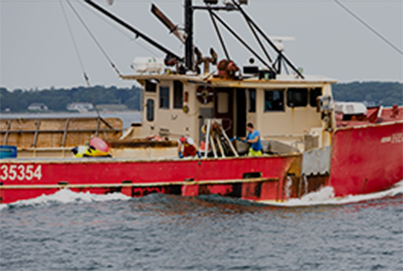
#1 Commercial Fishing Port for 18 Consecutive Years
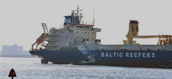
The Port of New Bedford is an integral part of a global seafood supply chain, handling millions of pounds of seafood on an annual basis. An average of 1 million pounds of seafood enters and exits the port by truck, rail, and boat every day. In addition to handling the majority of the seafood landed in the Atlantic, the Port also processes a growing amount of seafood landed in foreign waters, which is then shipped into processors located in the Port of New Bedford who then ship the final product back out to be sold globally.
In 2014 the Port handled 140 million pounds of domestic seafood and 250 million pounds of foreign seafood. As reported in the 2018 Economic Impact Report: “From the processor, the seafood can be trucked locally to wholesalers, go to a cold storage warehouse, trucked to an airport such as Boston’s Logan International Airport or New York’s John F. Kennedy International Airport where it is flown to various domestic and international destinations, or trucked to the Port of New York New Jersey where it is put on container vessel to be shipped internationally. It can also be trucked from New Bedford to Worcester where it is railed out to the West Coast for export to Asia.”
The Port of New Bedford has been the nation’s number one most valuable fishing port since 2001.
Supporting a Vibrant Fishing Community


LATEST NEWS
EVENTS
Receive the Latest Notices and Advisories